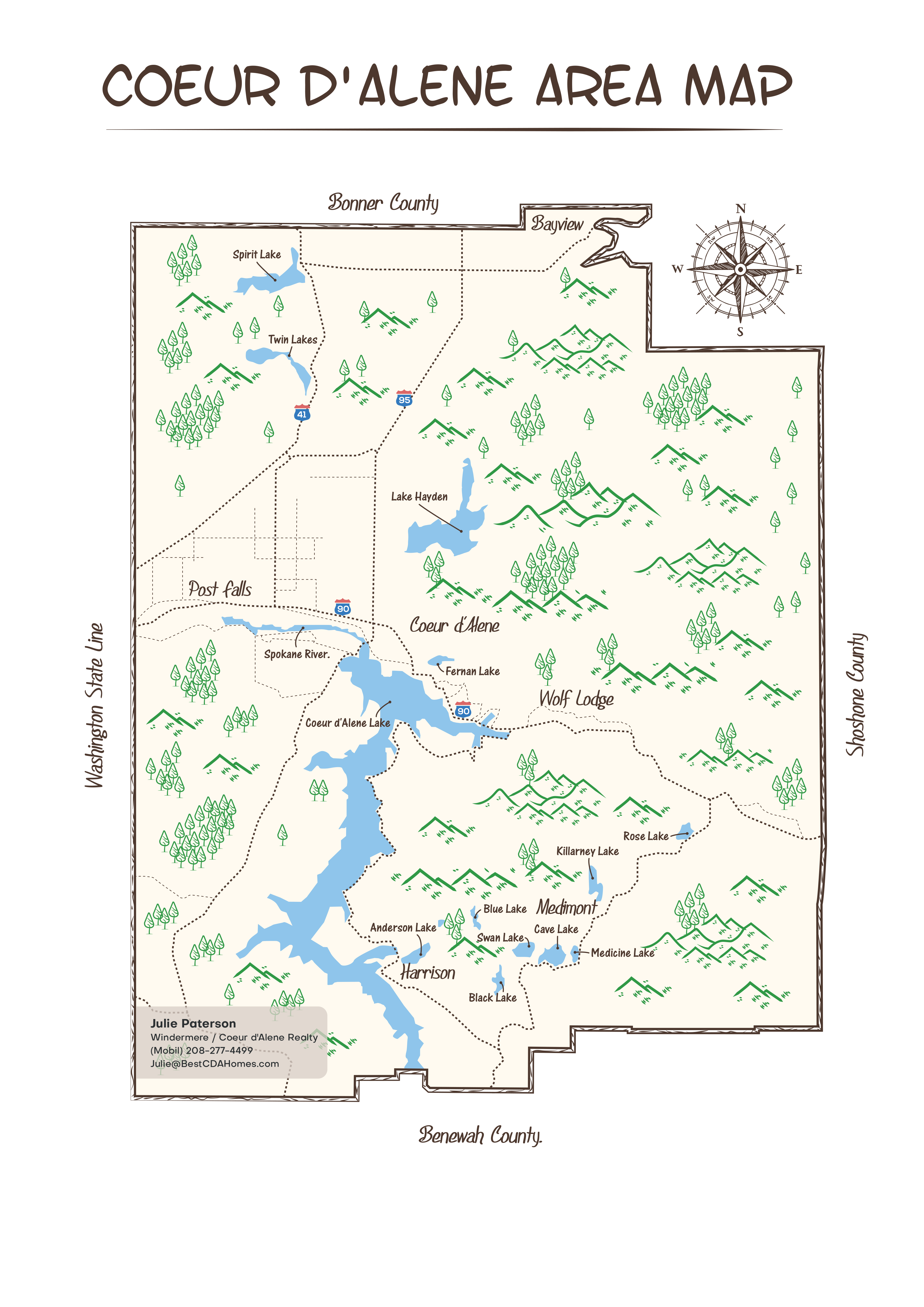
Coeur d'Alene area map gives you a perspective of our vast area.
Coeur d'Alene area map shows you 1,310 square miles of land. 12 lakes with 70 square miles of water and 245,000 acres of national forest. And 33,000 acres of state timberland.

Coeur D Alene Area Map
.
.
.

.
.
.
Hello, I am Julie Paterson and my most important job is helping you decide if the Coeur d’Alene area is the best place for your relocation.
.
I was in your shoes 13 years ago and I know where you are coming from. I will treat you like family.
.
Start a conversation with me and let me help you.
208-277-4499 Julie@BestCDAHomes.com
.
.
.
The Coeur d’Alene area Map is also called Kootenai County and has many different neighborhood characteristics.
.
.
Best Website to search HOMES FOR SALE in the Coeur d’Alene area.
Without getting calls from real estate agents.
.
.
.
This MAP includes these cities.
.
Coeur d’Alene, Harrison, Hayden Lake, Rathdrum, Post Falls, Bayview, Hauser, Dalton Gardens, Hayden, Spirit Lake, Worley, Huetter, Athol, Fernan Lake Village, and Rockford Bay.
.
